")
Environment Canada meteorologist Terri Lang says a Montana Low that is in the formation stage right now is headed our way. She says it is taking a funny path because they normally form in Montana head east and becomes Ontario’s problem.
But she says this one will form in Montana and take a sharp left, then goes to Manitoba and even back tracks into Saskatchewan.
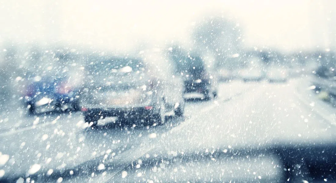
It starts with rainfall today mostly in central parts of Saskatchewan transitioning to snow through the day tomorrow. Lang agrees its unusual to see such a significant area of Saskatchewan under weather watches and warnings
That left turn tracks north, is sucking all of that warm air up along with it as it rotates around and that’s going to overide the colder air that is still sitting up in the northern part of the province.”
Land says that is the recipe for some of the really big snowfalls forecast with some northern areas could be as high as 50 centimetres. Central and southern Saskatchewan including Saskatoon, Prince Albert, and down through Regina-Moose Jaw will see a prolonged snowfall event, with snow lasting into Saturday. Total snowfall accumulations of 10 to 15 cm are possible.
Once this Montana low rolls through the province things should perk up. Lang says in the longer range, the 10 day forecast that they can see with some confidence, will be warmer.
“You know seasonal temperatures and I can’t see any big lower pressure systems coming through, at least Saskatchewan, in that time frame.”
Lang says it won’t be the kind of warm temperatures Saskatchewan experienced Tuesday but definitely an improvement. Tuesday Estevan was the hotspot in Canada at 27.2 degrees. Saskatoon reached 22.7 on April 21st.