




Written by: Natasha Wiebe, DiscoverWeyburn.com
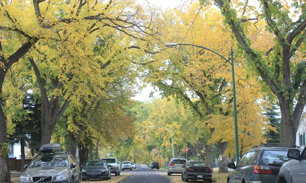
An El Niño winter could mean a longer fall, a milder winter, and an earlier arrival of spring weather in Saskatchewan. In fact, by this weekend Environment Canada is forecasting highs around 20 degrees for all of southern Saskatchewan, from Prince Albert southward, by Friday and Saturday.
An El Niño climate pattern occurs when water in the tropical Pacific Ocean becomes warmer than usual, affecting air movement in the atmosphere and weather patterns around the world.
Operational meteorologist with Environment and Climate Change Canada, Jennifer Kowal, said an El Niño primarily affects temperature, so the fall season may seem longer, and spring weather will arrive sooner.
“If you’re thinking about the beginning of the winter being a bit warmer than normal, and that delaying the onset of the snow, then you could add all of those elements together to say that it will feel like fall for a bit longer. It doesn’t make the length of the days any longer or shorter, doesn’t make the leaves fall off the trees any sooner or later. It’s really just a delay in when you would start seeing snow piling up on the ground.”
While overall winter temperatures will be warmer, Kowal said there is still the possibility of certain weather systems bringing arctic air down into the prairies causing cold snaps.
“Because it’s going to be warmer in general on the Pacific, it will take a colder air mass to get all the way down to Southern Saskatchewan. So, it’s still highly possible, though, statistically speaking, you’ll probably see fewer cold air outbreaks than you normally would.”
El Niño is expected to have minimal impact on overall precipitation amounts. However, Kowal said the warmer temperatures could mean wetter snow and less accumulation on the ground.