")

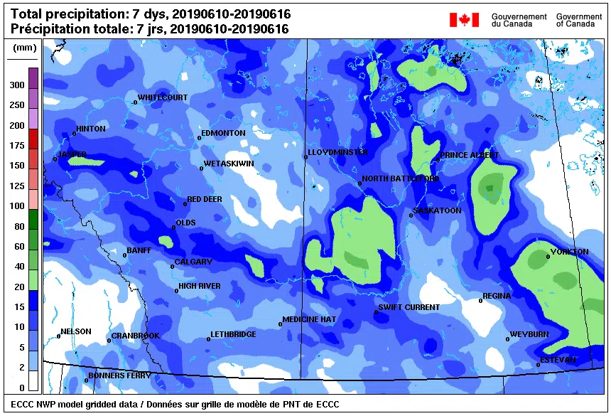
A slow moving disturbance delivered rain and scattered thunderstorms to some areas, while dry regions between Saskatoon and Regina received very little precipitation.
Here are some of the rainfall amounts reported by Environment Canada and a network of volunteer weather reporters. (These numbers are from 6am Friday, June 14 to 5am Monday, June 17)
Pilger 65 millimetres
Yortkon 46 millimetres
Leader 42 millimetres
Theodore 40 millimetres.
Wynyard 33 millimetres
Melfort 30 millimetres
Scott 26 millimetres
Broadview 23 millimetres
Rosetown 20 millimetres
Swift Current 17 millimetres
Outlook 15 millimetres
Prince Albert 12 millimetres
Lucky Lake 11 millimetres
Saskatoon 5 millimetres
Regina under 1 millimetre
Parts of Saskatchewan will receive rain on Wednesday and Thursday, but locations and amounts are still up in the air.
“As the system kind of spins slowly towards Saskatchewan on Wednesday and Thursday, we are expecting quite widespread shower and thundershower activity,” said Terri Lang, a meteorologist with Environment Canada. “It actually does look like everybody is kind of going to get in on this.”
During a Monday morning interview, Lang said it was too early to say which areas will receive the larger amounts.
“We are trying to figure out whether there is going to be more widespread rain with this one or if it will be shower/thundershower activity kind of like this last one.”
Lang is leaning toward the second scenario based on current weather models.
For additional information: the following is a link to a website containing precipitation totals from a network of volunteers from across North America. Click the map for the locations in Saskatchewan. You can also go back in time by going here.