


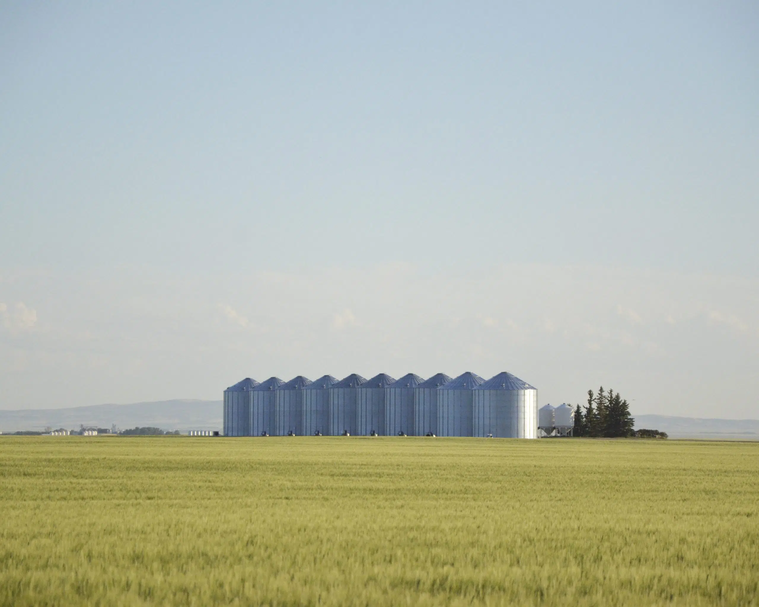
Very hot weather is scaling back yield expectations in many areas.
Daytime temperatures in the low-to-mid 30’s and overnight lows in the mid-teens are not helping crops.
FarmLink Marketing Solutions evaluated crops on a Western Canadian tour between July 24-26. Senior analyst Neil Townsend says weather conditions since that time have hurt potential yields.
“We have scaled those estimates back and we will be scale them back again if this week (of heat) happens. The fact of the matter is that crops needed some rain to bring them home. They didn’t need any excessive heat.”
Townsend says reports from their farmer clients indicate that many are shaving a little off their potential yields.
Environment Canada predicts the hot temperatures will continue until Sunday, with a high of 38 forecast for Friday.
While farmers would like to see some rain now, it won’t be long before harvest begins and dry weather will be required.
“Our models suggest right through mid-September that it will be warmer than normal,” says David Phillips, a senior climatologist with Environment Canada. “We don’t often make a pitch about precipitation, but our models are showing drier than normal.”
There will be an early harvest in many locations. Some desiccation has already started in the Watrous area (120 kilometres southeast of Saskatoon) according to Cory Jacob, a regional crops specialist with the Saskatchewan Ministry of Agriculture.
“We are in kind of a fortunate area that has been able to catch some timely rains (during the growing season). I’m saying we are on par for a good, solid average crop around Watrous, but you don’t have to go very far to find where they were short of rain, especially on the lighter land. The lighter land is showing it weakness with it being so dry this year.”
Jacob notes there has been some heat blasting in flowering canola crops, which will impact yield.