


If you’ve already put your snow shovel away for the year, we have some bad news.
Environment Canada Meteorologist Chris Stammers says an Alberta clipper is making its way into the province on Tuesday, leaving a path of rain, slush, and snow in its path, depending on where you live.
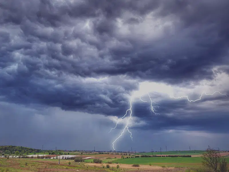
Stammers says southern Saskatchewan will most likely see some rain and maybe even a few thunderstorms.
“With it being springtime, things are a little bit more unsettled. There’s a chance further south for some lightning strikes occurring. Saskatoon down towards Moose Jaw- Regina will see more showers with this system.”
Meanwhile the Prince Albert, Meadow Lake, and Yorkton areas are slated to get up to 20 centimetres of snow. Stammers says there are plans in place to upgrade the special weather statement to a snowfall warning later Monday afternoon.
Saskatoon is forecast to receive a mixture of both snow and rain.
“Precipitation is going to start as rain, possibly some wet snow mixed in, but likely mostly rain. Then, we’ll see it transition Tuesday night into Wednesday over to snow, and that’s when we’ll start to see more accumulate.”
He says between 5-10 centimetres of snow could fall in Saskatoon. However, temperatures are forecast to stay above zero, so freezing rain is not expected to wreak havoc on the highways, and the snow probably won’t stick around for very long. As the clipper exits the province on Wednesday, Stammers says temperatures will be below normal for a few days before returning to double digits by the weekend.
Stammers adds that although we’ve already seen several sneak peeks of spring, snow isn’t unusual at this time of year, and we may even see more heading into May.