


Environment Canada is encouraging the public to stay off the roads if they can this evening, as a cold front is bringing some poor driving conditions in from Alberta.
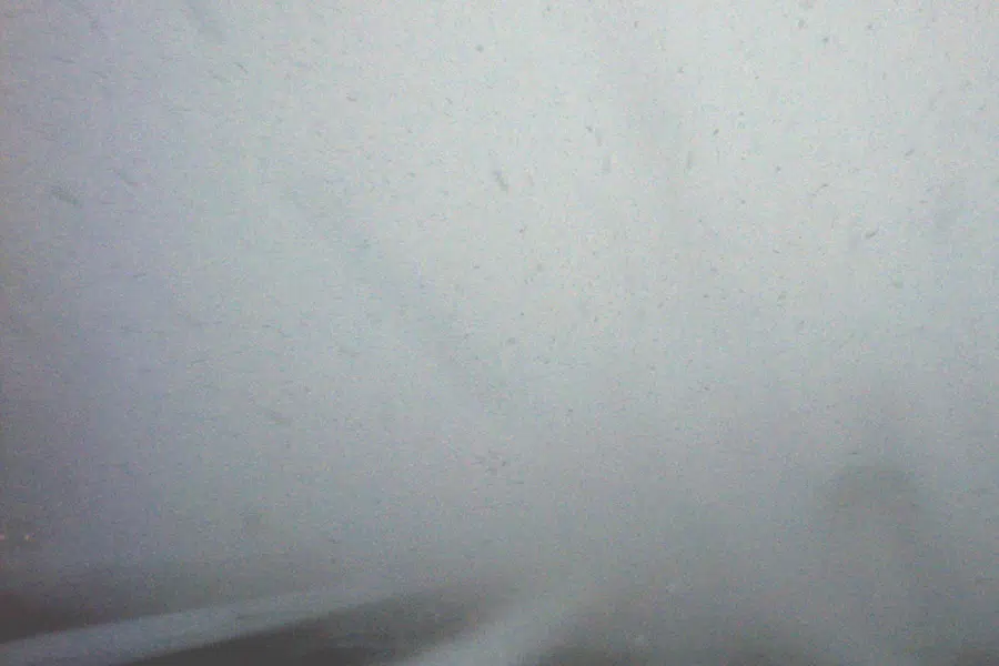
Meteorologist Brian Proctor says by midnight Thursday, the system should reach Saskatoon, bringing colder temperatures, high winds, and some sudden bursts of zero visibility called snow squalls.
“The phenomenon tends to be more pronounced in Alberta than it is in Saskatchewan…so we normally see these about three to four times a year,” he explains.
Proctor says although the system is expected to move through very quickly along the Highway 16 corridor, it will be important to get off the road if you start to notice sudden dumps of heavy snow.
“The biggest threat from a driving point of view is going to be the blowing snow, the visibility restrictions with that intense snowfall, but you could see some higher amounts (of snowfall) as well. Be prepared to get off the highway if you have to and let it ride out a little bit.”
Overall, he expects less than five centimetres of snow to drop, with localized amounts of between 10 and15 centimetres possible. Wind gusts are forecast to stick between 40-60 kilometres per hour, but he wouldn’t be surprised if that number got up to 80 kilometres per hour.
Proctor says daily highs will drop to the minus mid-teens during this time, returning to positive single digits by the start of March.