


The snow storm in Saskatchewan continues into Wednesday after Tuesday’s dump brought a harsh return to winter following a February calm stretch.
Environment Canada Meteorologist Danielle Desjardins says another 5 to 10 centimetres of snow is possible, along with reduced visibility as blowing snow conditions persist throughout the day. She adds that snow will ease this evening.
“In behind this system, we’re going to see temperatures falling to below normal, with the ridge of high pressure and some colder Arctic air to the province. Tonight we’ll see the snow tapering off, and then daytime highs in the minus teens and overnight lows well into the minus 20s over the next week or so.”
The areas most affected by the snow so far have been Holbein at 27.9 centimetres, Emma Lake at 25.4 and Prince Albert at 25 centimetres. There is also a large area of heavier snow north of Meadow Lake.
“Heavier amounts to the south, extend through Prince Albert, just east of Saskatoon, and Regina’s right on the edge. There’s a line basically extending Prince Albert to the southeast corner, where may have seen upwards of 25, maybe 30 centimetres.”
Desjardins says that the advisories will event end tonight sometime as the low pressure system continues east.
“Expecting improvements from west to east. I would expect Saskatoon will be ending sooner than Regina, but once the heavy snow has seized, that’s when we’ll start seeing the advisories be ended.”
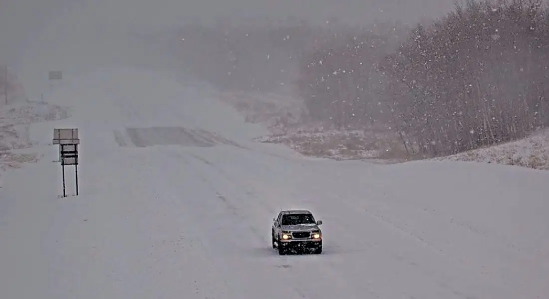
Many roads throughout the province have been affected by the snow and blowing snow conditions. To know the roads before you go, check out the Highway Hotline in the News and Sports section of the CJWW web page.