


Photo credit: Connie Steyn
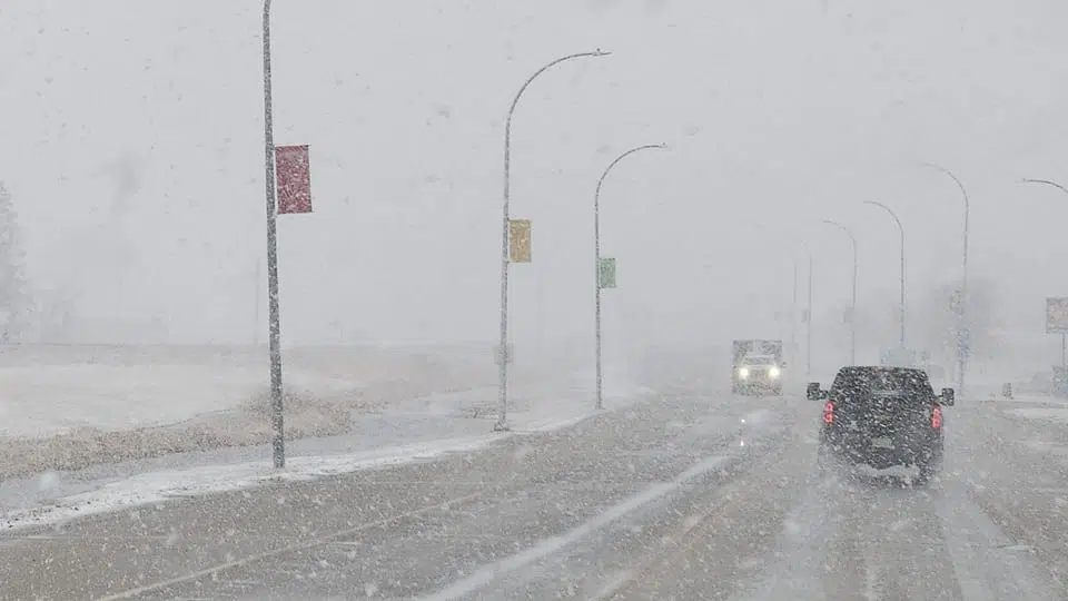
A storm developing just east of the Rocky Mountains has led to special weather statements for much of Saskatchewan.
Environment Canada says the low-pressure system will track southeast into southern Saskatchewan and western North Dakota on Tuesday.
A narrow band of freezing rain is possible beginning Tuesday morning, extending from Kindersley to Estevan, presenting potentially hazardous travel conditions and as the system progresses eastward, heavier snowfall is likely with 10 to 20 centimetres anticipated in some areas. As well the special weather statement will be upgraded to warnings.
In Alberta watches and warnings have already been issued. Environment Canada says a cold front will bring heavy rain showers or flurries late tonight, as well as strong northwest winds gusting to 90 km/h.
This will be followed by temperatures quickly dropping below zero in some areas, likely causing any wet surfaces to freeze. Northern Alberta around Grand Prairie and Athabasca can expect 15 to 30 centimetres of snow while brief periods of freezing rain or blowing snow are also possible in parts of central Alberta tonight.