")
If you haven’t pulled out your parka yet, this is probably the time.
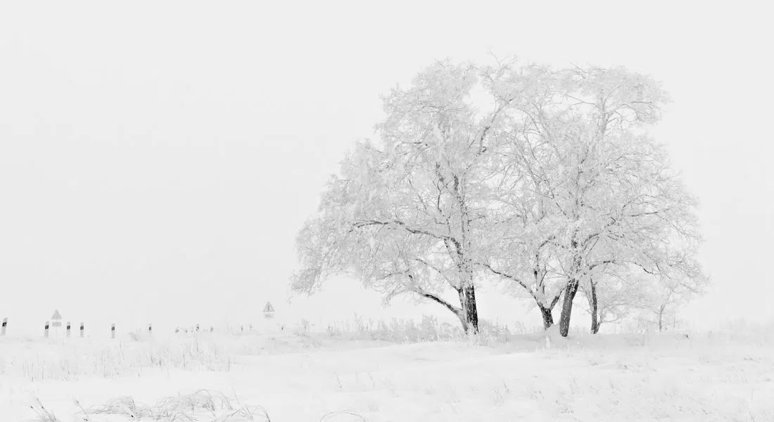
The Weather Network has issued its winter forecast which suggests blasts of frigid Arctic air could send temperatures plummeting in December ushering in a more “traditional Canadian winter”.
Meteorologist Rachel Modestino uses terms like frigid, colder than normal temperatures, severe cold, and polar vortex when issuing the Weather Network’s winter forecast for the prairies.
“Unfortunately, at this point it appears colder than normal temperatures could linger into March and that could mean a delayed transition into the spring months.”
However, The Weather Network says that delayed spring could benefit the province by maintaining the snowpack which helps with soil moisture and could perhaps stave off any early season wildfire risks.
As well, Modestino says there is an active storm track that will bring snow
“We do see that there are above normal snowfall totals forecast for southwestern Saskatchewan so areas that are kind of south and west of Regina including Assiniboia, Moose Jaw and out to Swift Current.”
And with those active storms the Weather Network expects blizzard conditions at times impacting roadways.