


Saskatchewan is set to get hit by a blast of winter weather Monday as an Alberta clipper makes its way into the province. Environment Canada has issued a Special Weather Statement for all over the southern part of the province including the Saskatoon and Prince Albert regions. The weather office says a swath of snow will being across the northern grainbelt region southwards towards the Trans Canada Highway. The greatest snowfall will be found in areas north and east of Saskatoon to the Manitoba border. The strongest winds will be south of Saskatoon with wind gusts of up to 70 and 90 km/h starting in the southwest Monday afternoon. Snowfall accumulation could be anywhere from 5 to 15cm according to Environment Canada.
Below is the Special Weather Statement from Environment Canada:
Another Alberta clipper is set to bring a mix of winter weather to southern Saskatchewan beginning Monday morning.
The system will move across southern Saskatchewan on Monday bringing a swath of snow through the northern grainbelt region southward towards the Trans Canada Highway. The axis of heaviest snow will be in areas primarily north and east of Saskatoon to the Manitoba border. Storm-total snowfall accumulations through these areas of 5 to 15 cm are possible.
As the clipper moves to the east on Monday, strong northwesterly winds will develop over the region. Winds of 40 to 50 km/h are likely, with the strongest winds being primarily south of Saskatoon with gusts of 70 to 90 km/h starting in the southwest Monday afternoon, migrating to southeastern regions by Monday evening.
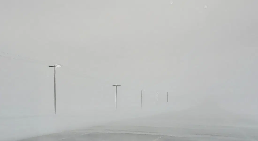
These strong winds, combined with freshly fallen snow, will produce a widespread area of blowing snow. The most extensive blowing snow is likely to occur between the Yellowhead and Trans Canada Highways and will likely result in a deterioration of travel conditions.
Additionally, a risk of freezing rain is possible from the Kindersley region southeastwards to the Carlyle and Estevan regions Monday morning. Some regions in the vicinity or south of the Trans Canada may experience precipitation first as rain, before quickly transitioning over to snow.
Conditions will improve Tuesday morning as the winds taper off. Behind this system, another surge of arctic air will move into the Prairies. Overnight lows will drop into the mid minus twenties midweek before attempting to return to seasonal values by the end of the week.
Please continue to monitor alerts and forecasts issued by Environment Canada. To report severe weather, send an email to SKstorm@ec.gc.ca or tweet reports using #SKStorm.