


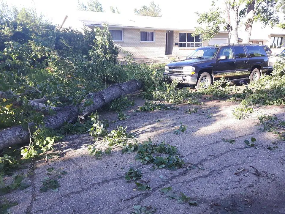
(Image courtesy Melody Loewen)
Environment Canada’s Warning Preparedness Meteorologist says plough winds occur just as the weather rolls in, right at the front side of the storm unlike a tornado which occurs at the back of a storm usually preceded by pounding rain and hail.
Terri Lang believes, based on damage photos on social media and Environment Canada’s radar data, a plough wind hit Elrose last night.
However, she says the safety precautions are the same as with a tornado, head for the basement.
“Because most people are injured or killed in strong winds, and from tornadoes, from flying objects. We say that, sort of last…when it happened down in Estevan a couple weeks ago with strong winds people were down in the basement.”
She says that is the right thing to do because the hail blew out a lot of the windows and people would have been injured from flying glass. Lang points out that a plough wind can get winds up to 180 kilometres an hour and can produce much more wide spread damage.
Lang says a super cell tornado that causes a lot of damage involves atmospheric conditions that have to be exactly right and that usually only happens 4 or 5 times a summer in Saskatchewan. Images on social media today from Elrose show trees uprooted and grain bins toppled.
Environment Canada asks anyone who may have photos from the storm and storm damage to contact them either at #skstorm on Twitter or damage reports as well as storm images can be emailed to: ec.storm.ec@canada.ca.